Exploring the Heart of Gyirong County
Gyirong County, known in Tibetan as སྐྱིད་རོང་རྫོང་།, nestles in the southwestern part of the Tibet Autonomous Region and stands out as a picturesque locale, often called the “Comfortable and Happy Valley.” This unique destination stretches along a 162-kilometer border with Nepal, highlighting its significance as a point of interest for both cultural and geographical diversity.
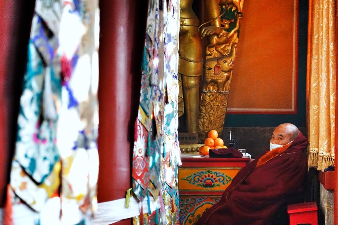
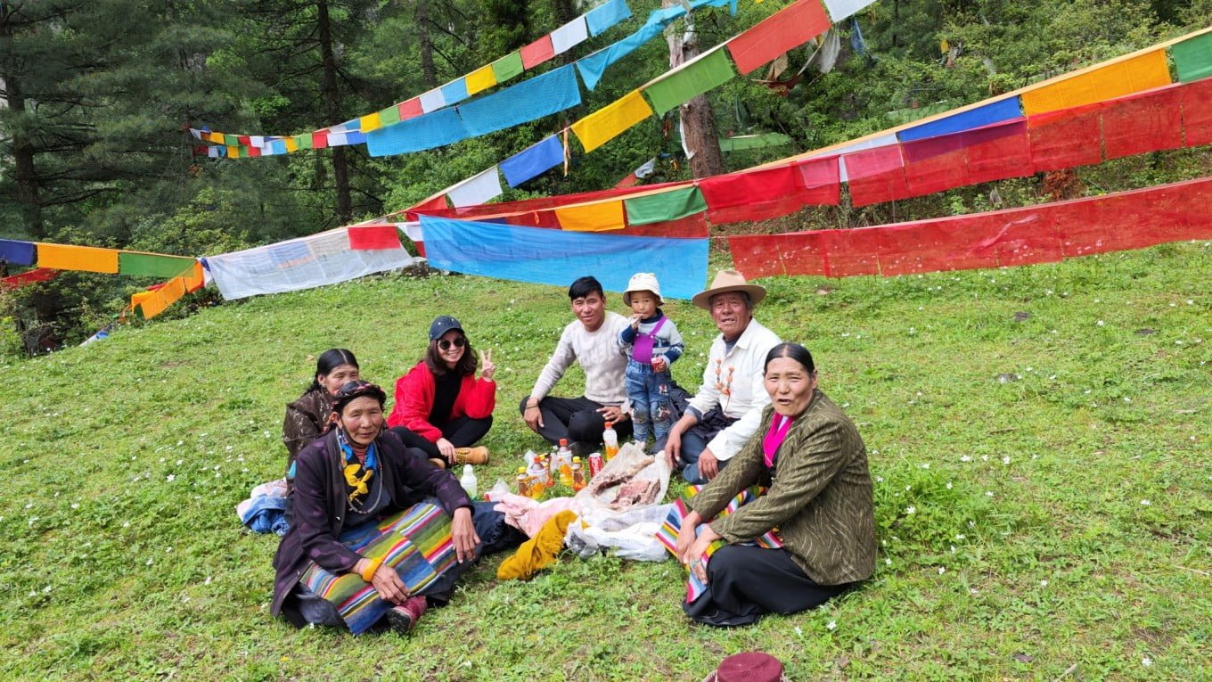
In Gyirong, visitors can immerse themselves in a serene environment that reflects the true essence of Tibetan culture. The county’s commitment to preserving its heritage while embracing growth and development makes it a symbol of resilience and cultural richness in the heart of Tibet.
Gyirong: The Birthplace of Tibetan Spiritual Icons
The Legacy of Jetsun Milarepa
Gyirong County holds a special place in Tibetan spiritual history as the birthplace of the revered Tibetan yogi, Jetsun Milarepa. Born in 1040 during the 1st Rabjung cycle, his early life in Dzongkar Town, Yilong Village, Kyanyatsa, set the stage for his later spiritual achievements. Jetsun Milarepa is celebrated for his profound teachings and poetic songs that resonate with spiritual seekers. His life, marked by penance and enlightenment, has inspired generations of Buddhists and spiritual enthusiasts.
Reychung Dorje Drak: A Prominent Disciple
Another significant figure, Reychung Dorje Drak, was born in 1723 in Gyirong Palkhuk, a testament to the region’s ongoing spiritual significance. As one of Milarepa’s most important students, Reychung Dorje Drak’s contributions to Tibetan Buddhism are deeply valued.
Gyirong: A Cradle of Tibetan Spirituality
Gyirong’s rich spiritual heritage, marked by the birth of these eminent figures, makes it more than just a picturesque location. It stands as a beacon of Tibetan Buddhism, attracting pilgrims and scholars who seek to connect with the profound legacy left by Jetsun Milarepa and Reychung Dorje Drak. The county’s deep historical and spiritual roots offer a unique and enriching experience for visitors from around the world.
Geographical Coordinates and Historical Significance
Gyirong lies between latitudes 28.3°N and 29.3°N, and longitudes 84.3°E and 86.2°E. Historically known by various names such as Kyirong and Jilong, the county has played a pivotal role in Tibetan history. Notably, during the Yuan Dynasty, it was a key administrative location, and from 1778 to 1781, it was a strategic defense point against the Gurkha invasions in Tibet.
Modern Gyirong: A Blend of Tradition and Progress
Modern Gyirong County, established in July 1960, encompasses an expansive area of about 9,300 square kilometers. It includes two towns; Dzongga རྫོང་དགའ་གྲོང་རྡལ། and Gyirong སྐྱིད་གྲོང་གྲོང་རྡལ།, four townships (Teba ཀྲེ་པ་ཤང་།, Gungtang གུང་ཐང་ཤང་།, Drakna བྲག་སྣ་ཤང་།, and Sale ས་ལེ་ཤང་།), three communities, and 40 villages. As of November 1, 2020, the county has a population of 17,536 residents. In 2017, Gyirong proudly shed its status as a poverty-stricken county, showcasing significant economic and social progress.
Gyirong Today: Cultural and Administrative Hub
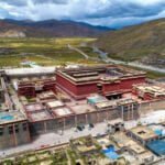
The county seat, located in Zongkar Town རྫོང་དཀར་ at an elevation of 4,125 meters, is a bustling hub of activity and culture. Gyirong’s administrative prowess stretches over a lengthy and varied landscape, extending 300 kilometers east to west and approximately 200 kilometers north to south. The region’s rich cultural tapestry is evident in its blend of traditional Tibetan lifestyles and modern advancements.


Why Visit Gyirong County?
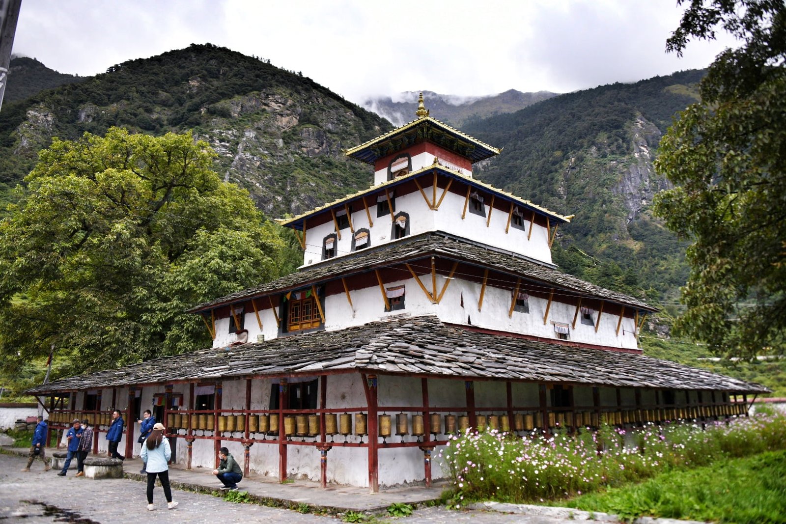
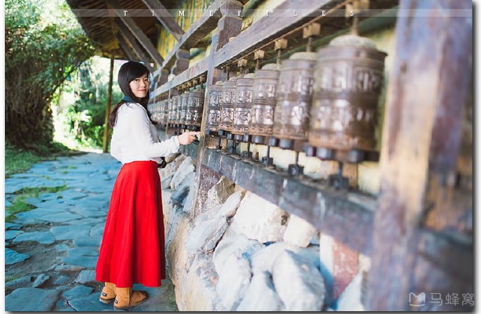
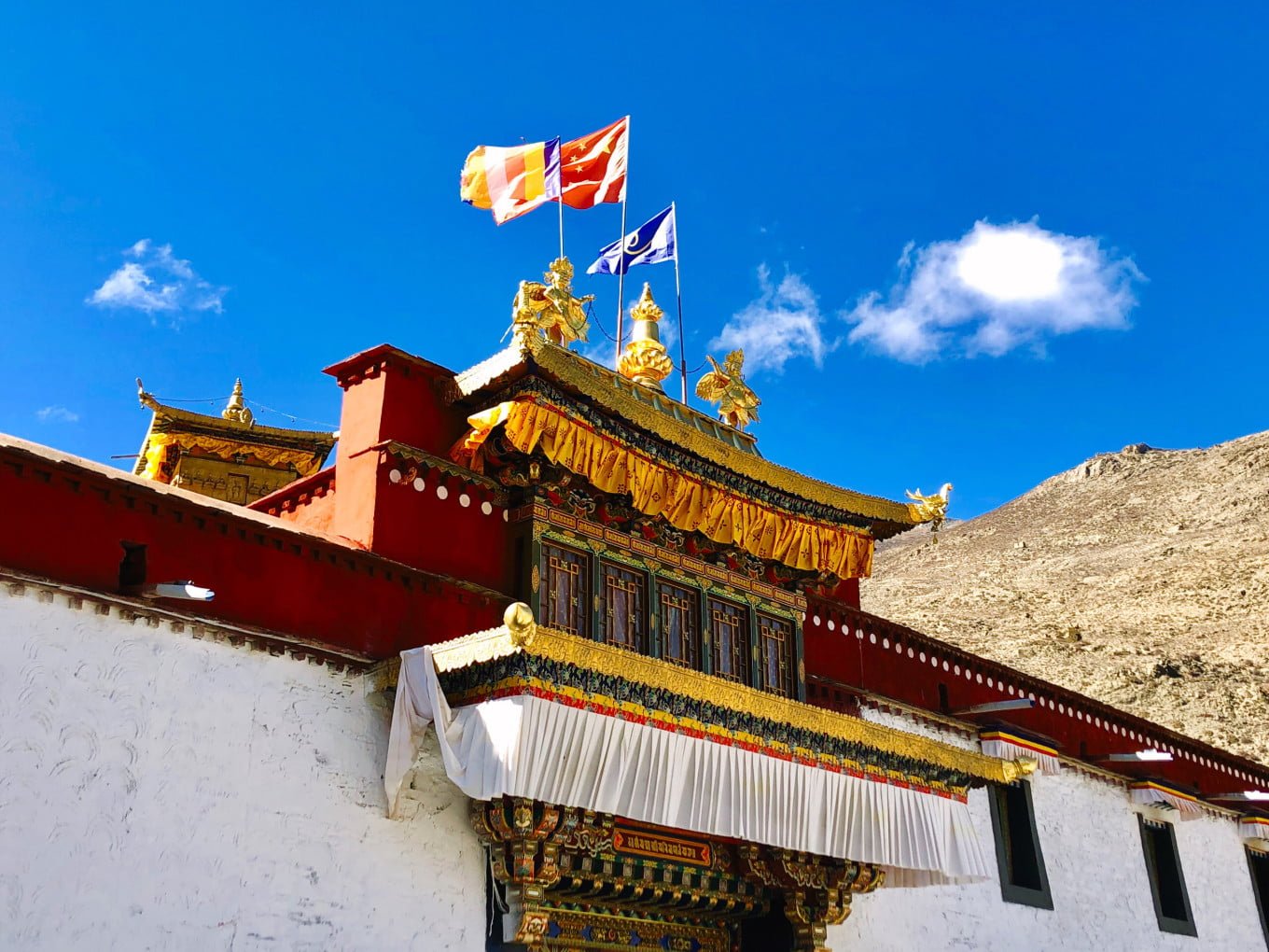
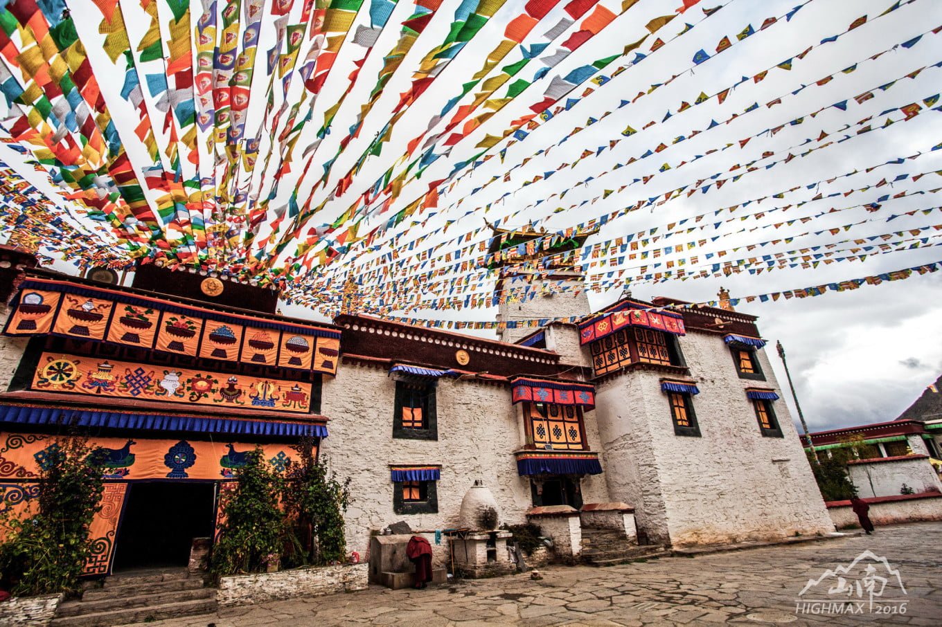
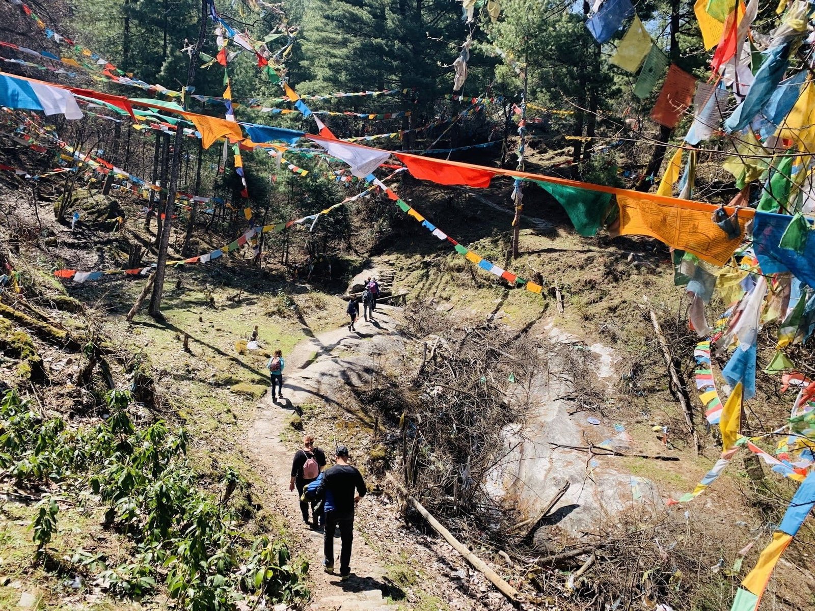
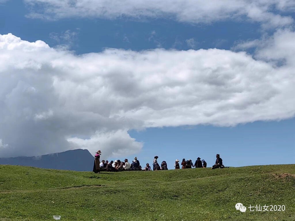
Gyirong County is a must-visit for those seeking to experience the authentic Tibetan culture. Its strategic location near the Nepal border offers a unique blend of Tibetan and Nepalese influences, visible in the local customs, architecture, and cuisine. The region’s natural beauty, marked by lush green valleys and rugged terrain, combined with its rich historical significance, makes Gyirong an ideal destination for cultural enthusiasts and nature lovers alike.
Essential Travel Tips for Exploring Gyirong County
1. Gyirong Bracelet Dance: A Cultural Spectacle
Description: The Gyirong Bracelet Dance, locally known as “Tongja,” is a revered part of Tibet’s intangible cultural heritage. This unique dance form is predominantly performed by women and is distinguished by its slow and fast rhythms. The dance showcases a variety of movements, such as ‘one step lift’ and ‘sliding hands’ in the slower parts, and more complex steps like ‘double stomping’ and ‘waist bumping’ in the faster segments.
Attire: Performers wear traditional vibrant costumes. Women dress in deep red Tibetan robes, adorned with various ornaments like “Prusham,” “Kaou,” and “Tongguo,” while men wear red robes complemented with accessories like “Jiudo” and “Ka-chi.”
Cultural Festivals: The “Tongja Lha” cultural festival, held annually in June, is a perfect time to witness this mesmerizing dance.
2. The Tamang People: A Unique Community in Tibet
Near the China-Nepal border in Gyirong resides a small village, home to the Tamang people, a community of over 200 individuals living in 40 households. Believed to be descendants of Tibetan Horse Army immigrants from the late 18th century, the Tamang people lived without official nationality for generations. In 2003, they were officially granted Chinese citizenship. The local government invested in constructing new housing for the Tamang community in 2004, and by 2005, they moved into these modern accommodations.
Gyirong County: A Blend of Diverse Terrains and Climates
1. Geographical Terrain
- Northern Region: Characterized by high-altitude grasslands and lake basins, this area is part of the upper Yarlung Zangbo River Valley with an average elevation of around 4,800 meters. The region exhibits significant elevation differences, roughly around 1,000 meters.
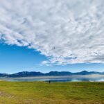
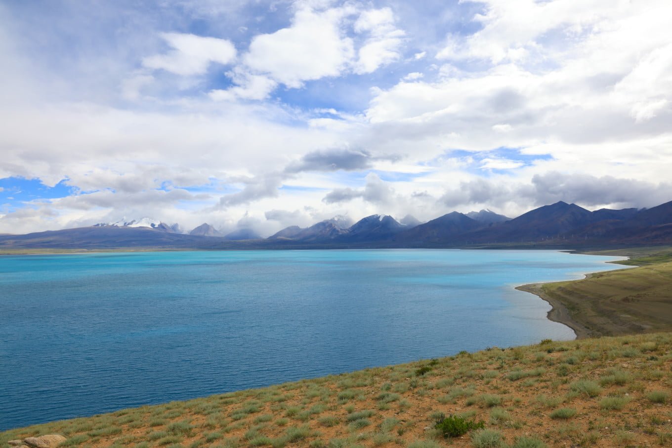
- Central Region: Dominated by lake basin and river valley landscapes, this area features several notable lakes like Peiku Lake, White Lake, Black Lake, Red Lake, and Ice Lake.
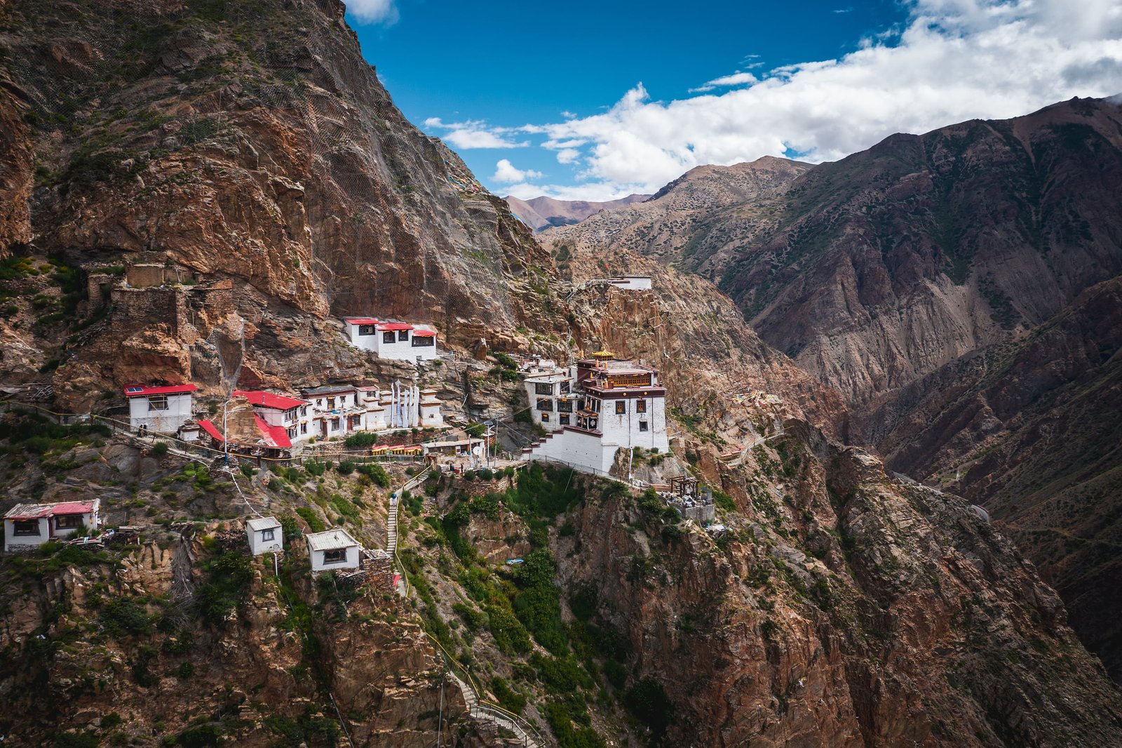
- Southern Region: Marked by high mountain gorges, this area’s average elevation exceeds 4,000 meters. The region is known for its steep peaks, with elevation differences around 3,000 meters, and many peaks over 6,000 meters, including the majestic Shishapangma Peak at 8,012 meters, perpetually snow-capped.
2. Climate of Gyirong
- Climate Type: Gyirong County experiences a temperate, semi-arid plateau monsoon climate.
- Temperature and Precipitation: The area has relatively low temperatures and ample rainfall, with clear distinctions between dry and wet seasons. The annual sunshine duration is about 3,000 hours, and annual precipitation ranges from 300 to 600 mm. The frost-free period lasts for approximately 60 days.
- Average Temperatures: The yearly average temperature is around 2°C, with the warmest month averaging between 10-18°C and the coldest month dropping to an average of -10°C.
- Natural Disasters: The region faces various natural challenges, including droughts, frost, hail, pest infestations, and sandstorms.
3. Notable Local Products of Gyirong
- Agriculture and Livestock: Gyirong County’s economy is primarily agricultural, supplemented by animal husbandry and forestry. Key crops include highland barley, wheat, peas, rapeseed, and potatoes, cultivated over 16,965 acres. The vast grasslands of 1.3 million acres support the rearing of yaks, buffalo, cows, sheep, and goats.
- Rare Wildlife: The area is home to unique fauna like the long-tailed gray langur, Hanuman langur, leopard, deer, peacock pheasant, and snow chicken.
- Local Specialties: Gyirong is renowned for its woodcraft, including wooden bowls, bamboo crafts, horse and ox saddles. The region is also famous for over 200 types of precious medicinal herbs, such as cordyceps, fritillaria, notoginseng, gastrodia, and picrorhiza.
Gyirong County: Your Gateway to Tibet’s Breathtaking Landscapes
Efficient Transportation Network
Gyirong County boasts an extensive transportation network, pivotal in connecting Tibet with Nepal and facilitating trade and tourism. Key features of this network include:
- Major Roads: The county is served by the Northern Road connecting Shigatse with Ali and a special line road linking with the China-Nepal Highway. This network ensures easy access to various parts of the region.
- Accessibility to Lhasa: Travelers can easily reach Lhasa from Gyirong, with a distance of 998 kilometers via Shigatse.
- Local Connectivity: All townships in Gyirong are accessible by car, with a total road mileage of 437 kilometers.
Travel Tips for Visitors
- Reaching Gyirong from Shigatse:
- The distance between Shigatse and Gyirong is 553 kilometers.
- Options for travel include regular buses from Shigatse to Gyirong, self-driving, or hiring a private car. Charter costs range approximately from 1,500 to 2,300 yuan (for reference).
- Border County Regulations:
- As a border county, visitors need to obtain a border pass from public security authorities.
- It’s recommended to process this pass either in your registered residence location or in Tibet. Travel agencies can also handle this, albeit with a service charge.
- Gyirong – The ‘Back Garden of Mount Everest‘:
- Often referred to as the “Back Garden of Mount Everest,” Gyirong is considered one of the most beautiful places in Tibet.
- It showcases the enchanting beauty of Swiss landscapes blended with the mystique of the Tibetan Plateau.
- The region’s rich and unique historical and cultural heritage adds to its allure.
- As a new border trade port between China and Nepal, Gyirong has added a vibrant dimension to its character.


