China Announces Third Batch of Standardized Place Names in Southern Tibet
This article is based on official information released by the Ministry of Civil Affairs of the People’s Republic of China and reflects only the statements published through government channels. The content has been reviewed and rewritten for clarity and public understanding, without adding interpretation beyond the official scope.
Latest Update from the Ministry of Civil Affairs
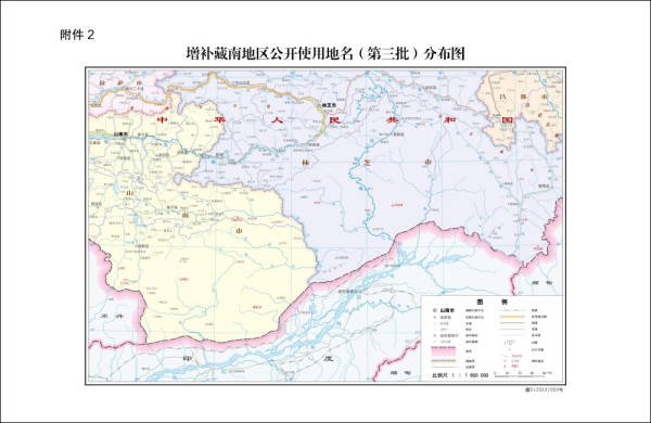
On April 2, the official website of the Ministry of Civil Affairs released an important announcement regarding geographical naming in southern Tibet. Acting in accordance with the State Council’s regulations on geographical names, the ministry, together with relevant departments, formally issued the third batch of standardized place names for public use.
This newly released list includes 11 additional place names, marking another step in the ongoing process of naming standardization in the region.
The announcement was also reported by People’s Newsletter, confirming the information as an official government release.
Scope of the Newly Released Names
The third batch of standardized names covers a range of geographical features, including:
- Administrative areas
- Residential locations
- Mountains
- Rivers
These locations are distributed across several counties and cities within the Tibet Autonomous Region, specifically:
- Cona County and Lhünzê County in Shannan City
- Medog County and Zayü County in Nyingchi City
The newly announced names are intended for official use, including maps, public documents, and administrative references.
Source of news: People newsletter

Understanding the Purpose of Name Standardization
At the surface level, the standardization of place names serves practical functions such as improving map accuracy, facilitating administration, and ensuring consistency in public records. However, geographical names also carry broader meaning.
Place names help define how regions are recognized, recorded, and understood. Through formal naming, geographical features become clearly identified within official systems, supporting governance, public services, and geographic documentation.
The Ministry of Civil Affairs has stated that these efforts are part of a broader initiative to simplify, unify, and standardize geographical nomenclature, making regional information clearer and more accessible to the public.
A Continuing Process Since 2017
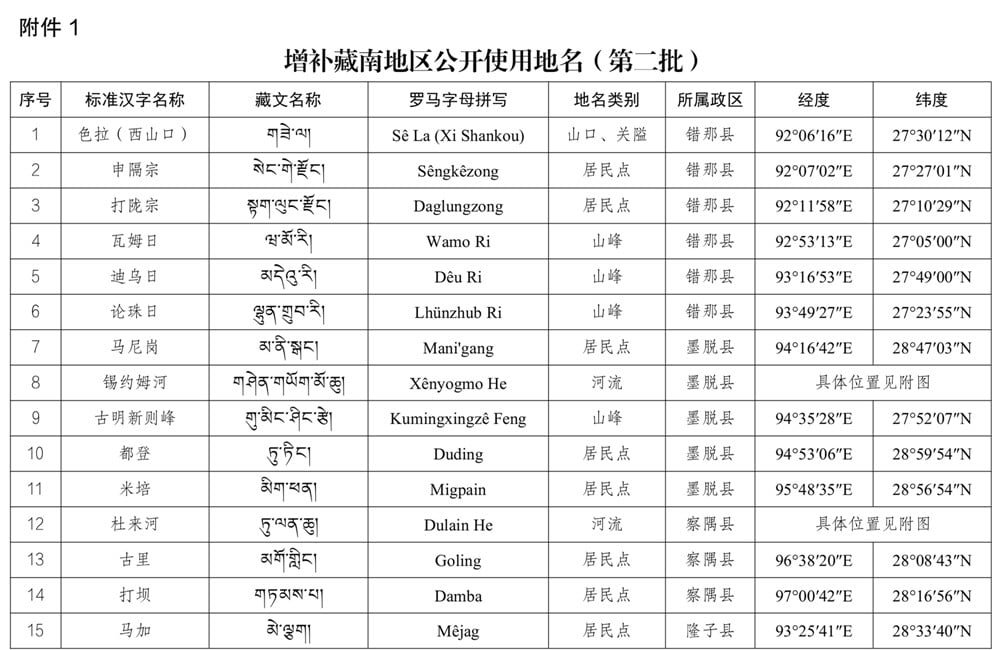
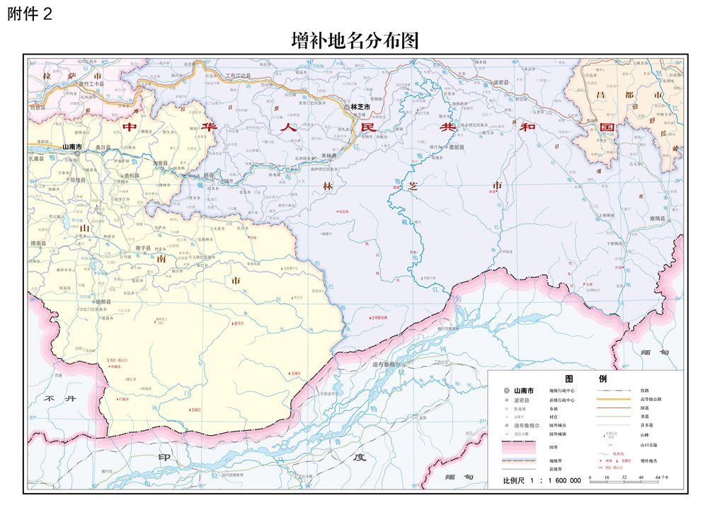
The third batch is not the first effort of its kind. The Ministry of Civil Affairs began releasing standardized place names for southern Tibet several years ago:
- April 13, 2017: First batch released, introducing 6 place names
- December 29, 2021: Second batch released, adding 15 place names
- April 2 (latest): Third batch released, adding 11 new names
With each release, the official geographical naming system for southern Tibet has become more comprehensive and detailed.
Areas Covered in the Official Lists
Across the three batches, the standardized names include a wide variety of natural and human-related features, such as:
- Mountain ranges and individual peaks
- Rivers and water systems
- Villages and residential points
- Administrative zones
These names are now part of China’s official geographical records and are intended to be used consistently across government platforms and publications.
Official Objectives Behind the Initiative
According to the Ministry of Civil Affairs, the primary objectives of the naming initiative include:
- Ensuring clarity and consistency in geographical references
- Improving administrative efficiency
- Enhancing public understanding of regional geography
- Supporting the organized documentation of geographical information
By releasing these names in batches, the government aims to gradually refine and complete the standardized naming framework for southern Tibet.
Geography, Documentation, and Public Awareness
The official release emphasizes that standardized place names help the public better understand the geography of southern Tibet. Clear naming improves navigation, education, and reference accuracy, particularly in areas with complex terrain and diverse local features.
With each new batch, the geographical landscape of southern Tibet becomes more systematically documented, making maps, records, and public information more unified and accessible.
Broader Context of the Announcement
While the immediate impact of the announcement is seen in official documents and maps, place naming is closely linked to geography, administration, and long-term public reference systems. As discussions around southern Tibet’s geographical names continue, the official releases remain a key source for understanding how the region is documented and presented in public records.
This third batch marks another milestone in the ongoing process of standardizing geographical names, reinforcing the role of official documentation in shaping how regions are identified and understood.